Cookie

The Saxon State Agency for the Environment, Agriculture and Geology

Big Data in the fight against floods


Benefits to our customers

Early, automated and more precise flood warnings for affected persons

Future-proof, modular system construction

High functional reliability and fail-safe operation thanks to two-line solution

  • Sächsisches Landesamt für Umwelt, Landwirtschaft und Geologie

    Requirements

    High-performance compilation and analysis of the water levels

    The Saxon Flood Centre (SFC) of the State Agency for the Environment, Agriculture and Geology constantly monitors the levels of waters in Saxony and warns affected persons and authorities in case of floods. After the catastrophic flood in 2002, this Flood Centre implemented a new warning system. Over time, however, a number of vulnerabilities became evident and the tool was technically outdated. As a result, the Saxon Flood Centre initiated a new solution in 2010.
    T-Systems MMS then conceived and implemented a completely new and high-performance flood information and management system (FIMS), which has been in operation since 2015 and proven reliable.

  • Sächsisches Landesamt für Umwelt, Landwirtschaft und Geologie

    Solution

    Web portal for citizens and automated warnings

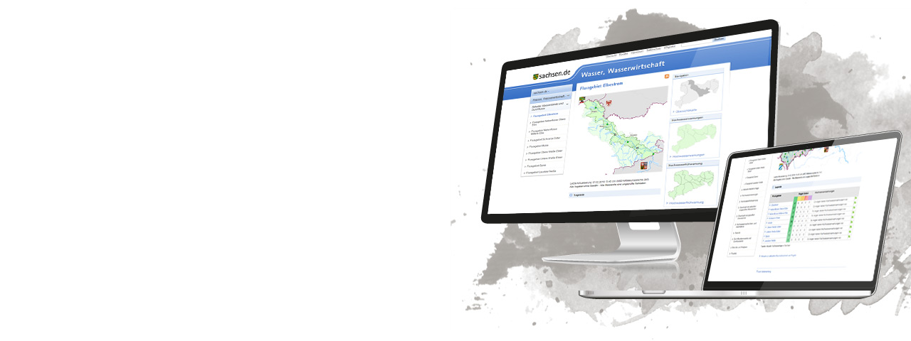
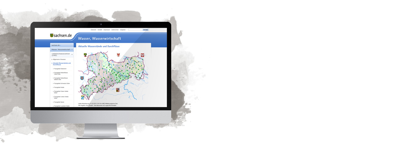
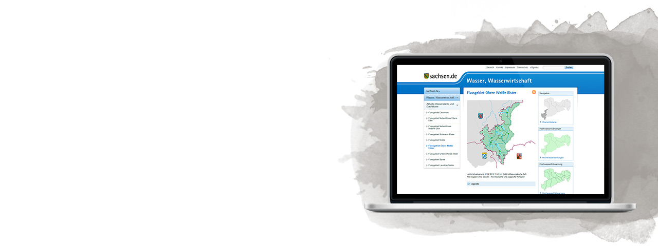
    All citizens can access the FIMS web portal from T-Systems MMS, which also offers mobile access. In 5- to 15-minute intervals, it is updated with current data from the 470 measuring stations throughout Saxony. Anyone interested can track the water levels of nine river areas virtually live and can also view and download graphics and even some forecasts. The system is based on a Java application server that is linked to an Oracle database. Data from external providers such as the German Weather Service and other upriver measuring stations in foreign countries are also integrated into the backend of the FIMS through the Camel Enterprise Service Bus, so that accurate predictions can be made on this basis. The seamless integration of the various data sources enables a prediction of rising levels at an earlier stage. For the Elbe catchment area, for example, this is up to 60 hours in advance.

    To ensure that the system can accommodate a high user load and simultaneously guarantee a fail-safe operation during flood phases, T-Systems MMS has implemented a two-line solution. If a server fails, a duplicate automatically takes over, thus enabling operation with high availability.
    The higher efficiency of the new system now also makes it possible to monitor much smaller warning areas. This results in more precise warnings for the actually affected regions.

  • Sächsisches Landesamt für Umwelt, Landwirtschaft und Geologie

    Benefits

    More efficient early warning and reliable information for citizens

    The employees of the Flood Centre benefit from higher system automation. Before the FIMS was implemented, they had to manually or vocally enter every warning. Today the system automatically sends warnings in the form of SMS, calls or faxes. The MDR’s video text is also automatically supplied with current water levels.
    The new application is much more intuitive for the more than 1,000 obligatory recipients, namely institutions such as the fire and flood departments, mayor, state administrations and disaster response agencies.
    Compared to the preceding system, the FIMS is much more reliable. The Big Data application, which is storing 200 million records by now, enables flood warnings at an earlier time. As a result, the FIMS provides more security to citizens and institutions, since they can take protective measures in time.

  • Sächsisches Landesamt für Umwelt, Landwirtschaft und Geologie

    Dr. Uwe Müller, department manager at the Saxon State Agency for the Environment, Agriculture and Geology

    “Previously, obligatory recipients had to send a four-digit code to confirm receipt after getting a flood warning. Today a short SMS response is enough. The automated warning of the obligatory recipients now leaves us more time to compile and analyse the data.”

About the Saxon Flood Centre

The Saxon Flood Centre (SFC) constantly monitors the water table levels and discharges of the hydrological state measurement network as well as the transferred data from adjacent countries and states and analyses them in respect to possible flood formation in connection with the rain and thaw forecasts by the German Weather Service.


Contact person